
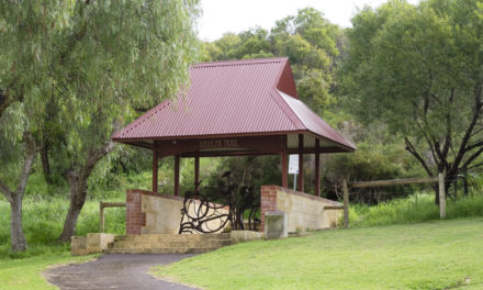
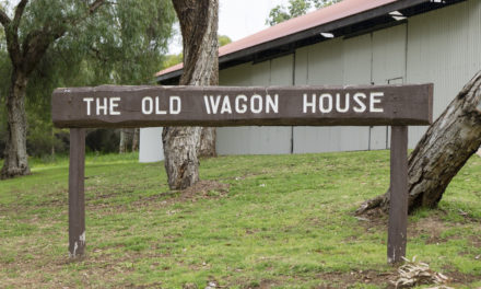


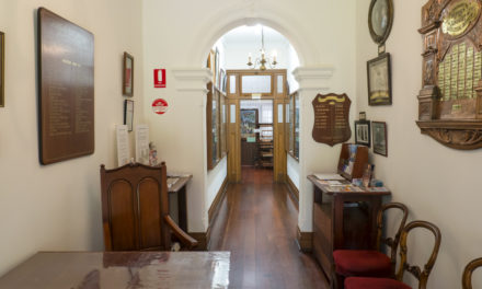


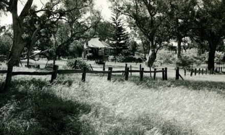
Spearwood (pre 1900)
Spearwood is situated in the Aboriginal tribal district of Beeliar
Spearwood had always provided its original inhabitants with fresh water, good vegetation and wild fowl. At the time of European settlement the leader of the Beeliar people was Midgegooroo, father of Yagan. Tribe numbers were significantly reduced after European contact because of the dispossession of Aboriginal people from their land and their susceptibility to fatal diseases such as typhoid, influenza and tuberculosis when they were unable to access clean water or an adequate and nutritious supply of food.
Spearwood was named after the Spearwood bush which is a woody, evergreen shrub with perfumed yellow, cream and white blossoms that surveyors noticed was common in the area. In 1897 the name of Spearwood Gardens Estate was given to one of the first subdivisions in the Cockburn district and the new roads of Spearwood Ave (now Rockingham Rd), Troode Rd and Garden Rd were created in the Estate. Ten years later Spearwood was named as a district in postal directories.
Prior to settlement Spearwood was pastoral land and for many years Aboriginal and ticket-of-leave shepherds were its only inhabitants.
Pastoral leases then gave way to large freehold estates and settlement started in the area in the 1850s when Alfred Hooker took up Cockburn Sound location No. 97 and Charles Manning purchased adjoining blocks.
The site of the present Phoenix Shopping Centre and other large parcels of land were bought in the 1890s by wealthy pearlers who invested in the area following a bad pearling season in the North West. Investors were followed by settlers who struck it rich on the Goldfields in the 1890s and wanted to turn their hands to working on the land and to take advantage of Spearwood’s close proximity to Fremantle.
In the 1890s George and Catherine Smart were the first of the small land holders to settle in Spearwood when they bought ten acres of land, set up a temporary home on Mell St and planted an orchard and garden.
Be sure to keep your eye out for part two of this two-part post: Spearwood (post 1900).
Local history questions or anything to add? Please let us know by commenting below.
This article can also be seen on the Cockburn Libraries’ Local History blog and first appeared in the April 2012 edition of Cockburn Soundings

Hello Leah,
I am now living in “Gaebler”road, Aubin Grove, can you pass on any information on the Gaebler early settler family that obviously lived in the district and after whom this road was named?.
Cheers,
John Gorham
Hi John,
Waldemar Gaebler had a block of agricultural land in the Jandakot Agricultural Area, which stretched far beyond the boundaries of today’s Cockburn and well into Armadale. Gaebler’s block was JAA Lot 291, which was at the south-eastern corner of Forrestdale Lake, near where today’s Oxley Road turns a corner and becomes Stirling Road in Forrestdale.
Gaebler was a basketmaker who had come from Hamburg in Germany and ran his own business in West Perth. From the records I could find it looks as though he took up the land in 1904 and tried to improve it, ordering fencing posts and contributing to local political discussion. There are references to him living there between 1905 and 1915, but throughout this time he advertised his basketmaking business in West Perth. He may have lived there part time, or gone down on weekends as many professional men did. He had a family, as there are references to a wife and a son at various times, but no record of whether they lived in Jandakot or West Perth.
His block was supposed to be just on the edge of a proposed townsite around Forrestdale Lake, but that site never developed as planned so he most likely never settled there. He continued to advertise his basket making business in West Perth, and in 1936 the Armadale-Kelmscott Roads Board advertised his block as one to be sold at auction for non-payment of rates.
You can find a map of the East Jandakot Townsite here (renamed Forrestdale Townsite in later years): Lot 291 is visible in the smaller inset map, on the south-eastern corner of the townsite lots that surrounded Forrestdale Lake. It’s hard to spot but it’s there!
It looks like Gaebler Road was a continuation of Oxley Road, which one ran right through the eastern Jandakot area, and there are some records of Gaebler advocating for a better road past his property, so the naming may have been related to works done on his request, though the road itself is further west than his block.
For more information on the history of the area, head to the new Cockburn History website.
-Leah