
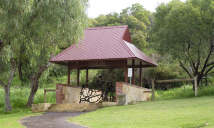
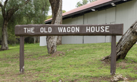


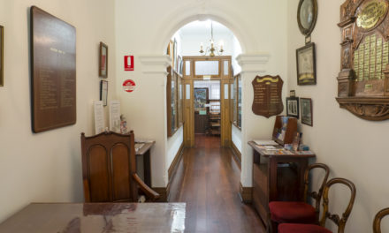


History of Wattleup
1000 acres in Wattleup was originally assigned to Thomas Watson, a colonial surveyor, in June 1831 as a timber grant.
It was later sold to George Leake, a Fremantle merchant, and passed down through his daughter to various members of the Brown family, into which she had married.
Subdivision at the western end of Wattleup commenced in 1931 when it was owned by Isadore Walters and Whitfords Ltd. Investigations during the subdivision showed that there had been a road, locally known as Wattleup Road, for the previous 30 years. It was resolved that the name be adopted officially and the area be simply named Wattleup.
In 1961 local developers, T & T Enterprises Pty Ltd, subdivided the eastern section into 4 hectare (10 acre) lots for market gardeners and proposed naming their subdivision Wattleup Gardens Estate.
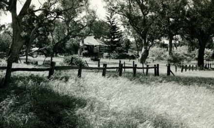
Wattleup had been an area of swamps and lakes that were filled over time.
It was a place of blackboys, jarrah and paperbark trees that were cleared to establish market gardens, fruit trees, vines and pasture for cattle. Prior to the 1961 subdivision the area was prolific with wildflowers: different sorts of orchids, kangaroo paws and wattle.
The lakes were full of frogs, inhabited by tortoises and gilgies and also home to tammars, bandicoot and spotted native cats. You could even find local children paddling on the lakes in homemade corrugated iron canoes.
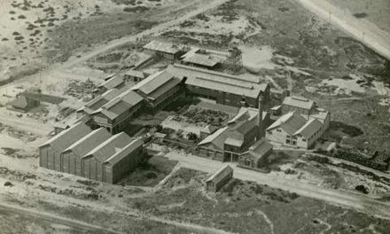
In the 90s, Wattleup and nearby Hope Valley were earmarked by the State Government for redevelopment. This project, now rebranded as Latitude 32 Industry Zone, has seen the demolition of most of the houses in the area making way for future commercial and industrial precincts.
Local history questions or anything to add? Please let us know by commenting below.
This article can also be seen on the Cockburn Libraries’ Local History blog and first appeared in the December 2012 edition of Cockburn Soundings


Thank you for a fascinating article.
Hey Dan,
Glad you enjoyed the article.
There will be fortnightly posts on our Lost Cockburn page, so make sure you Subscribe to our Blog to be notified about new posts.
Thanks.
Dear Leah,
A large part of my early life from 4 till 18 was at Wattleup and I am keen to get any pictures on CD of Wattleup primary and old history for my grandchildren..
Regards Sharon Johnson.
Hi Sharon,
Unfortunately the Cockburn libraries and museums don’t have any photos of the Wattleup Primary School or other Wattleup history in their collections, but I would highly recommend contacting the Wattleup facebook group, as people there have been living in the area for many years and would probably be happy to share their photos with you.
-Leah
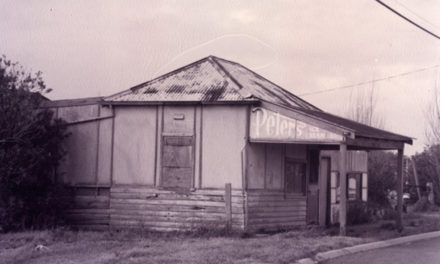
Is there any way I can find out if there was a liquor store and a car yard (Peter Shacks Holden) on Hope Valley Rd near the intersection near the intersection with McLaren Ave in the late ’70s?
Thanks
Hi Michael,
Hope Valley actually falls inside the boundaries of our southern neighbours, Kwinana – I had a look at their online historical aerial photography and there does appear to be something at that intersection in 1981 (the earliest date they have).
Head to Kwinana’s Intramaps and go through the Aerial Imagery tab to have a look for yourself.
-Leah