
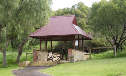


History of North Lake
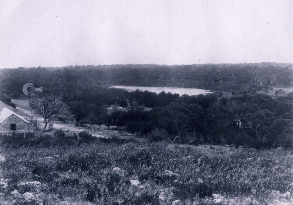
For much of its history Coolbellup was closely linked to North Lake.
The word Coolbellup was recorded in 1842 as the Aboriginal name of a lake in the area, but afterwards the name North Lake prevailed, both for the area and the nearby lake.
Traditionally, North Lake and its surrounds were places of great cultural importance for the local Nyungar aboriginal groups, where they set up large campsites, gathered bush food and medicine and held important ceremonies with large family groups.
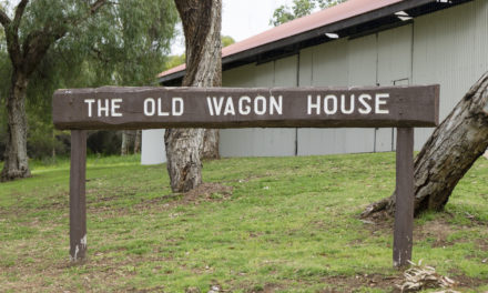
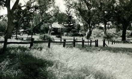
In 1849, during the early years of colonial settlement, the area was leased to a Mr Samuel Caphorn, the son of a farmer, who arrived from England with his wife and nine children. The area was considered excellent for farming, and was used in large part as dairy farmland and market garden plots.
The North Lake, as it was often called, enjoyed a Wild West type of infamy in the latter half of the 19th century.
This was due to its thick bushland being used on more than one occasion as a hideout for convicts escaping from Fremantle Prison, and once for Thomas Hughes, a high-profile murderer on the run. Another account tells of a group of colonial convicts breaking into a North Lake house and forcing the occupants to swap clothes with them for disguise.
In the early 20th century, the lake areas were designated native game reserves, and local men on holiday were warned against shooting there. In the 1950s, the area was set aside for state housing in the post-war population boom, and in 1957 the locality of Coolbellup was formally named as a suburb, separating it from North Lake.
Local history questions or anything to add? Please let us know by commenting below.
This article can also be seen on the Cockburn Libraries’ Local History blog and first appeared in the April 2013 edition of Cockburn Soundings


Hi
I have memories of a small settlement on the east side of Stock Road near the old Hope Road which was closed (maybe late 70s) and looking over the lakes both Bibra and North Lake.
Can you confirm if my memory is correct? Nobody i have mentioned this to seems to remember what i am describing. These little houses were mostly on stilts due to the lay of the land and were connected by small access roads.
Some say i must have been dreaming these visions haha . Am i dreaming?
I would really like to know?
Hi Greg,
I replied by email to this one, but will post the response here too:
If you head to the City of Cockburn’s Intramaps feature (here’s a tutorial on how to use Intramaps for local history) you can zoom right down onto this area, and here’s what I found.
It definitely looks like there were several buildings in the area, with the most obvious ones being in the left third of the photo, on the southern side of the road heading east-west between North and Bibra Lakes. On an earlier photo this east-west road is labelled Warrick Road, and I’ve also seen it spelled Warwick.
Those buildings are almost exactly in line with modern-day North Lake Road, which I imagine they must have been demolished to make way for. The whole area was always occupied, whether by market gardeners, dairies, or church and school buildings, so many of the houses and properties you see in this photo are remnants of the heritage of the Bibra Lake area.
It looks to me like the place you’re describing (northern end of North Lake) may have been something to do with the pine plantations that covered much of the southern Melville area for the 1950s onwards.
-Leah
Hi Leah
Our father took two very high quality photo (slide) of what looks to be an abandoned cottage and he has titled it “North Lake” August 1969. There are two large pine trees nearby and a large lake. The slide says looking south 55 degrees.
Would you like to see these photos so that you might be able to locate this property.
Thanks
Thanks Angela, that’s a wonderful offer! I’ve sent you an email to confirm.
-Leah