


History of Bibra Lake
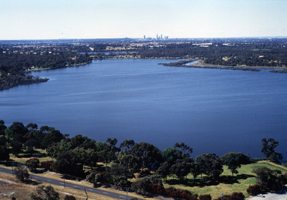
Bibra Lake was first reported by the surveyor A C Gregory in May 1842 when he recorded its Aboriginal name, Walubup.
This was traditional land for the Swan River Aborigines who had many campsites around the lake because of its abundant wild-fowl, fresh water and good vegetation.
The following year, Benedict Von Bibra, recorded the name as Walliabup when he acquired 320 acres in the area. Although this name was used exclusively on maps for more than half a century, locals still referred to the feature as Bibra’s Lake. This alternative name was added to plans and eventually in 1967, was adopted instead of the Aboriginal name.
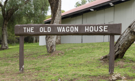
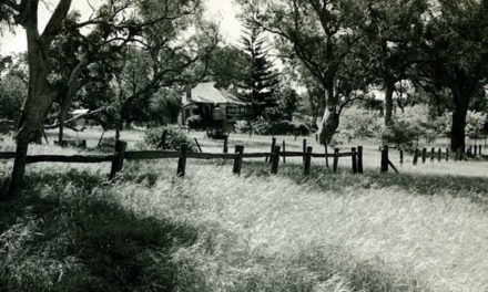
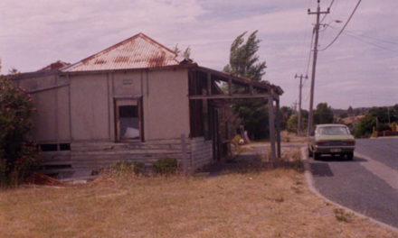
Land in the area was cleared by families like the Tapper’s, Meller’s and Currie’s and homesteads, market gardens and dairies were established on the excellent grazing land where lucerne, maize and oats were also grown.
A substantial colony of Chinese market gardeners also began around the lake in 1897.
Because the land laws prohibited Chinese from owning land in Western Australia, they leased their plots. They lived in meagre tin shacks and grew tomatoes, celery and spring onions and were respected by the community for their hard work and honesty.
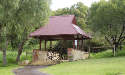
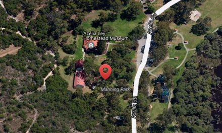
In the 1960s, when the State Government established a green belt in the area, Tappers dairy and homestead were demolished. The Moreton Bay fig trees, which are over 100 years old, still remain. The Aboriginal people still maintain strong links with this area of significant Aboriginal heritage and participate in educational activities at the Cockburn Wetlands Education Centre on Hope Road.
Local history questions or anything to add? Please let us know by commenting below.
This article can also be seen on the Cockburn Libraries’ Local History blog and first appeared in the October 2012 edition of Cockburn Soundings


Hi Leah – do you have an email address I can send some information to you regarding the incorrect historical naming of the park in Bibra Lake.
Many thanks
Jillian
Hi Jillian,
I’ve sent you an email.
-Leah
Hi Leah 🙂
Could you possibly settle a wee “debate” my husband and his father have been having. They would love to know how long Hope Road used to be and where the extra bits were. Any information or further sites to check out would be greatly appreciated!
Cheers, Cyndi
Hi Cyndi,
Good question! It turns out Hope Road is a relatively recent name, and the road between North and Bibra Lakes used to be known as Warwick Road. The searchlight station that was staffed by a group of the Australian Women’s Army Service that was recently rediscovered in the bush along Hope Road was listed in 1945 as on the ‘corner of Warwick and Dixon Rds‘.
An aerial photo from 1950 with handwritten street names lists it as ‘Warrick Road’, which is probably a phonetic misspelling. The assumption is that it changed names at some point in the 1950s.
As for how far it reached, in the 1950 photo it stretches roughly from the junction of Cordelia and Coolbellup Avenues on the western side, to the new Roe Highway interchange being constructed now on the east.
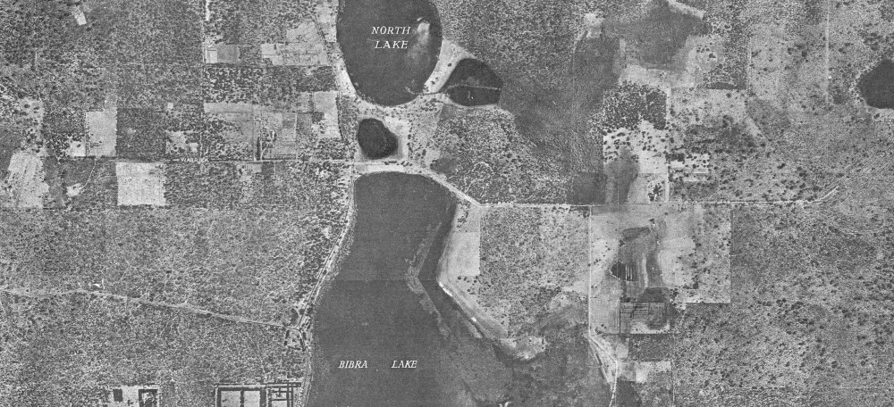
Subsequent years saw it extended eastwards until it reached the Jandakot Airport in the 1960s, effectively becoming what is Karel Avenue today. When the freeway was put through it cut Hope Road in half, but if you look at a map you can see the line clearly still there from Coolbellup to Jandakot.
I hope that helps your husband and his father, and please let me know if there are any other burning questions you want solved!
-Leah